Green Mountain - Verlot
 (technical difficulty)
 (physical difficulty)
Info
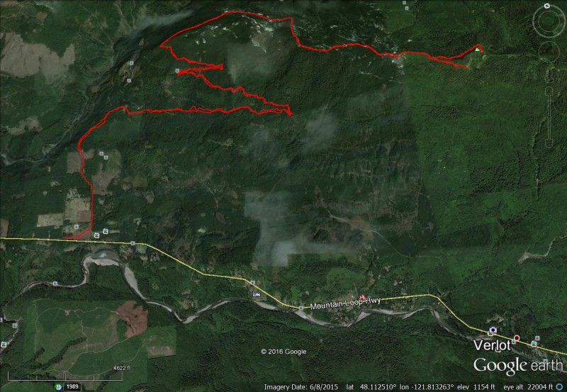
This is a forest service road to the top of Green mountain. It is located just north of the Verlot Ranger station and just north of Mount Pilchuck on the Mountain Loop Highway. The road starts paved with potholes and turns into a well graded fire road about 2 to three miles in. You can park anywhere up the road where you can safely and vary the amount of vertical you want to attempt. Some folks camp along the road. No pass is necessary. At the top is a ham radio repeater structure, a good view of Pilchuck, the Verlot and Robe valley, and, at the west most part of the road at 2900 feet, Mount Rainier. The ride down is an enjoyable glide but watch for vehicles around the corners. Initial Route
Photos


Videos
Ride Reports
I haven't climbed stuff on the Mountain Loop Highway in a long time so I went out there earlier today to climb back up to the Ham radio repeater at the top Green Mountain just north of Verlot. My GPS App glitched with bugs in a newly released version but the road climb and views of Pilchuck still...
Added this trail to the site for those of you looking for a variable vertical fire road ride. There is slushy snow at 3700 feet for about a quarter mile of hike a bike for another week or two but the summit is in the sun and clear. The ride down was fun just beware of any vehicles on the tighter...