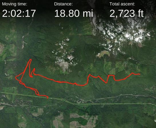
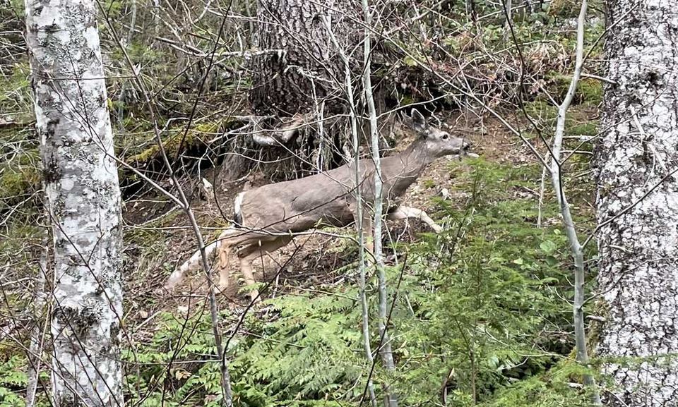
I had a desire to find out the rate the snow has been melting along Highway 2 this year since it has been a below normal snow pack so I drove to Skykomish to find out. I turned on to the road to the trailhead and parked down low near one set of powerline towers and used the capability of the Levo to climb and navigate the rough road. About 45 minutes later, I got to the Jennifer Dunn trailhead and continued right on to the Alpine Baldy trail. The sapplings are getting annoying so wear padded gloves and pads on the legs if you descend at speed back to the car. After the meadow drainage, but a mile before the first major switchback, there are two chainsaw jobs to clear trail. Other than that there is just windblown branches to ride over. I saw one "trail runner" today but, that was the only contact I had today with nature.
There were two groupel/hail showers during the ride but that stuff bounces off so rain gear wasn't necessary. Just before the first major switchback at 3300', the snow cover began and I turned around and descended back to the truck. I knew I wouldn't get to the summit which is why I parked low and could take advantage of the wicked descent down the road when no one else was driving up it. Being able to downhill the road on the bike, instead of dodging potholes inside a car, is really exhilerating and almost as fun as summiting. Just be careful of the blind corners and erosion ruts that might catch your descent off guard!!! The Levo speedometer exceeded 30 mph. GPS track and pics are here.