West Fork Humptulips River
 (technical difficulty)
 (physical difficulty)
Info
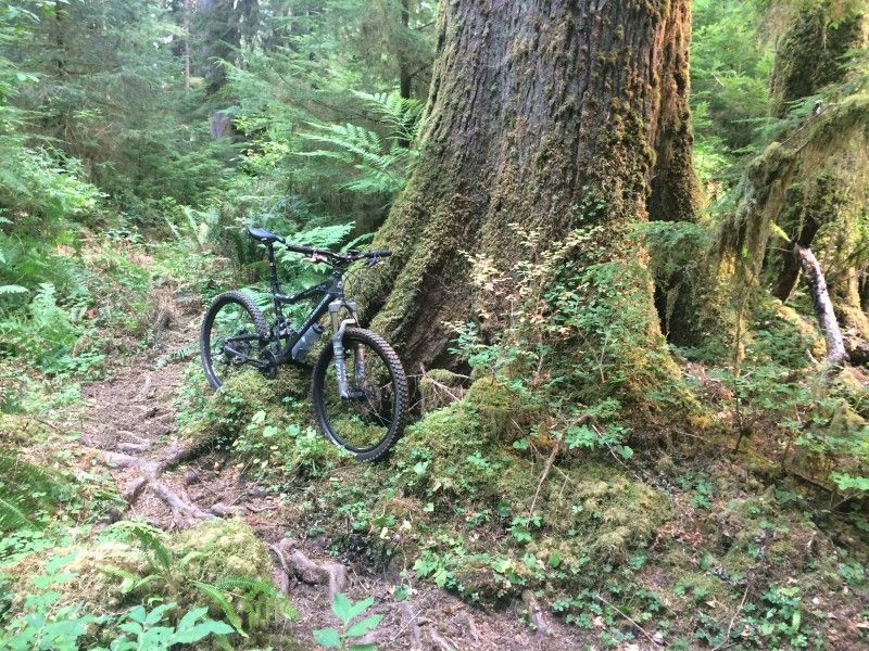
This is one of the longest temperate rainforest trails in Washngton State that's open to mountain bikes (~13 miles worth). If you like the Olympic Nat’l Park valleys like the Hoh, Quinault, etc, and want to *bike* a trail like that, put this one on your list. This is very much like those, but without the crowds.
However, maybe one of the reasons it doesn't get much traffic is the inconvenient fact that, over the course of its roughly 13 miles, the trail fords the river about 20 or 25 times. Most years, the only feasible/sensible time to ride the trail is late summer and early fall, when stream flows are lowest. On 9/6/2017, the USGS Humptulips gauge at US-101 showed 65 CFS, and most of the fordings on this trail were very doable, about a foot deep.
Some years this trail gets more maintenance than others; check the Olympic Nat’l Forest website trails page, or WTA, etc, (and of course this page) for recent reports.
More info here, on the ONF site: https://www.fs.usda.gov/recarea/olympic/recarea/?recid=47779
Photos


Videos
Ride Reports
I rode the section from Gorge Bridge TH to Petes Creek trail; parked at the Switchback TH and went downstream, then took the road back to the car, then went upstream to Petes Creek, then took the road back to the car.
Trail was in great condition overall (well, compared to when a few of u...
My wife and our two dogs and I set out to ride this trail as a first bikepacking adventure. We were excited about the river crossings, not disuaded by them.
The first mile or so of the trail is beautiful, rolling single-track. After that mile, the trail drops steeply dow...