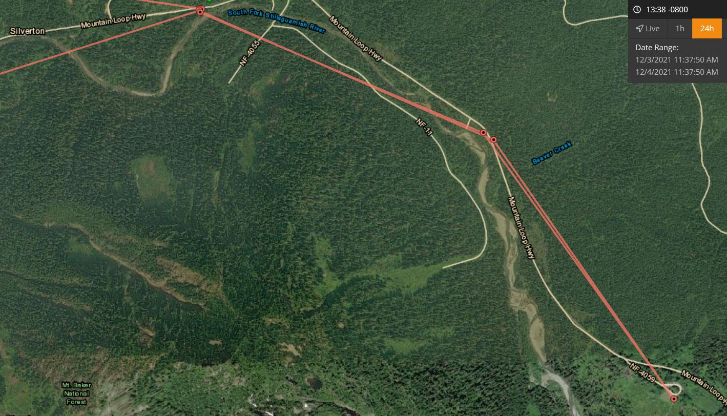
The Mountain Loop Highway closed for the winter yesterday evening so before there was too much snow I was hoping to make one more ride on the gravel bike to Barlow Pass. Snow was falling after the Robe Valley and snow began collecting on the road around Verlot. I parked at the Deer Creek gate (~1600') and began the ride in 2" of snow. It was an ok ride up to the Big Four Ice Cave picnic area and there was 4" of snow there. I decided to turn around there since the snow depth would probably double during the climb to Barlow Pass. Big Four was all fogged in but the ride was enjoyable. Beware of the weaker trees along the highway and the weight of the new snow if you decide to make your own first tracks in the coming days. This was my first ride using the SPOT GEN4 satellite transceiver and it worked ok locating me during the ride. Here was the map of me from Deer Creek to Big Four (default 10 minute update interval, 5 minute is shortest unless you pay extra per month for 2.5 minute). There is no cell coverage for me past Granite Falls out there so the text messaging to the satellite and then down to my contacts back in town (messages that I was just fine) were good to have to put my loved ones at ease.
Here is an example of the custom message I set up to send when I push the 'check in' button...
Device Name: TomsGEN4
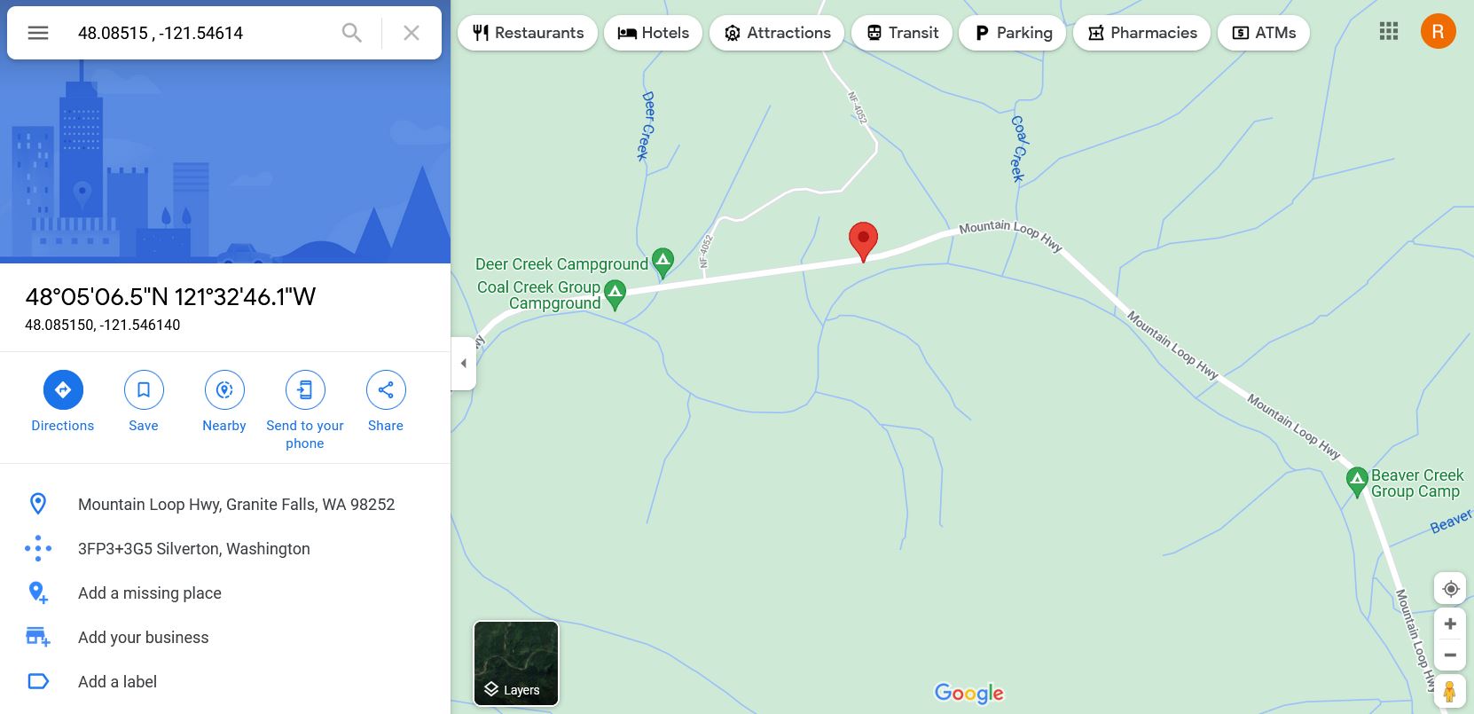
Latitude: 48.08515
Longitude: -121.54614
GPS location Date/Time: 12/04/2021 11:30:20 CST
Message: I am fine and continuing on with my excursion.
This was the checkin I sent when I began the ride at the car.
Pasting "48.08515 , -121.54614" into the search bar of Google Maps will get anyone online this.
Finally, the more detailed GPS track and snowy pictures are here. It is about 2.5 miles to the Big Four picnic area from the Deer Creek gate if you take the family up there on a walk.