West Fork Methow River Tr
 (technical difficulty)
 (physical difficulty)
Info
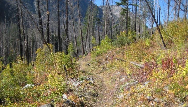
Beautiful easy/intermediate trail with great scenery and a wilderness feel. Last mile up to the Pacific Crest trail is the only serious climbing. There was a fire here in 2004.


Photos


Videos
Ride Reports
The USFS trail crew cleared the debris from the 2014 avalanche in November 2016 and the trail is now passable through that area. However, the Trout Creek bridge is damaged and, after 3 years without maintenance, there are lots of downed trees across the trail and it has become a bit overgro...
The West Fork Methow Trail remains blocked by avalanche debris from a very large spring slide a few years back (the slide came from the ridge across the river and crossed it). Clearing it will require Forest Service involvement as the scale and complexity of the debris field is beyond a vol...
Curious to know if the below report from 2014 is still applicable. Anyone know?
Due to an avalanche/landslide this trail is not passable. The slide is about 1.5 mi from the trailhead.