Tarbell Loop
 (technical difficulty)
 (physical difficulty)
Info
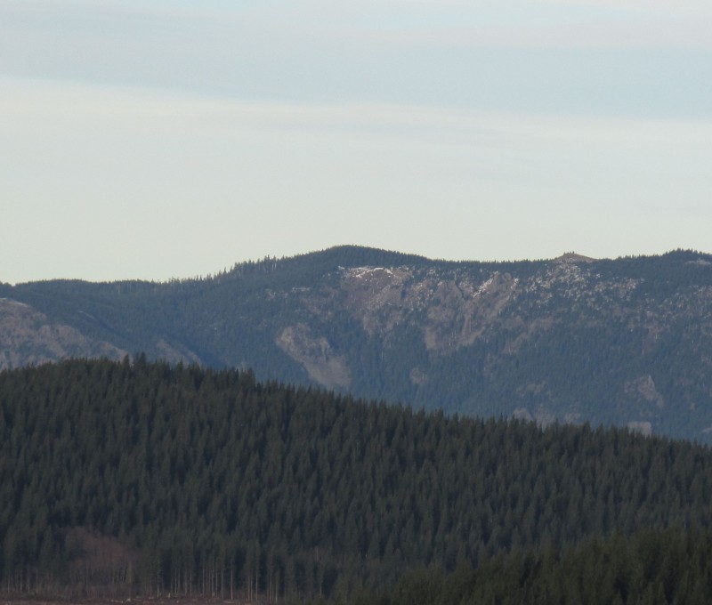
This loop is intense! There are epic views, epic downhills, and punishing, thigh cramping climbs that seem to last forever. The highlights of this loop are definitely the two 1000 foot descents, especially the second switchback descent down to hidden falls, a difficult to access gem of a waterfall that seems to exist solely to comfort you and tell you that the worst climbs are mostly over. Mostly.
Locals typically only ride this entire loop once or twice per year, preferring to combine sections of it with other trails in the area for less epic rides.
It is strongly recommended that this be ridden counter-clockwise if one wishes to ride the entire loop. Keep in mind that equestrians use the trail heavily during the summer months, but typically in the areas near Rock Creek Campground. The equestrians typically ride clockwise, so, along with other reasons which will be discussed, this is another reason to ride counter clockwise.
The climbs on this trail are intense, and in the summer months it is not uncommon to find yourself with an empty hydration pack less than halfway through. Bring a water filter and fill up at Rock Creek Falls.
The switchbacks from the second summit down to Hidden Falls are slippery.
Watch out for horses on the descent from the Tarbell day use area down to Rock Creek Campground. It’s a horse camp. There are going to be horses on the nearby trails. Don’t spook people’s horses. Be nice.

Cold Creek Mountain Bikers, Washington Trails Association.
Photos
Videos
Ride Reports
Crazy beautiful views awesome trail! Road The trail to hidden falls and back. trail is still a little thick with overgrowth in some areas but overall the riding is superb. Get out here before the summer heat comes. One of the best trails in Southwest Washington.
I just went out for a quick morning ride. I parked at the lot for the climb up Murphy's etc but it had been raining for days and I don't want to cause damage in such heavily used trails so from there I rode Tarbell the other way to Rock Creek campground then about a 3 mile climb up to the "offici...
A new road is being built, demolishing the barbell trail near the upper crossing of cold creek. Bummer! Hopefully this gets rebuilt or they post a detour. Otherwise to do the loop, you might have to bite off the climb up silver star. The rest of the trail was in good shape...