South Hill Bluff
Info
The South Hill Bluff, or just the bluff, is a compact network of approximately 20 miles of mostly single track and some double track. Much of it on a steep sidehill, the trails can be quite narrow and somewhat exposed at times while some trails widen as you go lower on the bluff towards Latah/Hangman Creek at the bottom. Generally speaking these trails will provide challenge to most levels of riders due to the steepness of the climbs and the narrowness of many of the trails.
The northern end of the network ends around 14th Avenue but there is an informal trail that will take you down to 7th Avenue and ultimately if you wish into Riverside State Park. The southernmost end terminates near Hatch Rd and 57th Avenue.
There are many points of access along High Drive in Spokane, among them: Polly Judd Park on 14th Avenue, 29th Avenue, 37th Avenue, Bernard Avenue. If you are driving to the trails, the best places to park are the pullouts at 29th, 37th, and Bernard.
The trail network is arranged on 3-4 levels on a steep side hill and the higher you go up, the narrow and steeper the trails tend to be. The middle and upper tier trails between 29th and Bernard are probably the most exposed. All levels contain numerous connector trails, many of them quite steep with climbing turns recently built in many of them.
Seasonally, these trails can usually be ridden nearly year-round. When the snow is deep this becomes snowshoe and fat bike country but due to the south facing aspect of the bluff, small amounts of snow usually does not last. Otherwise, the trails tend to be smooth and fast and dry the rest of the year. The best time to ride is a day after rain and after 2-3 days without rain, the trails can be dusty and dry.
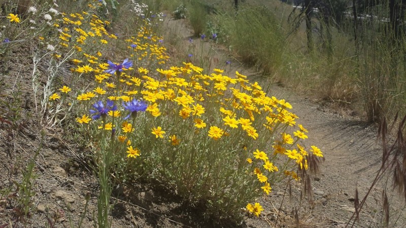
May is arrowleaf balsamroot time, while June sees an explosion of lupines.
There are many trail users on the bluff, please be courteous and yield to other users (typically walkers, and trail runners).
Photos
Videos
Trail Status
Ride Reports
The bluff always dries out pretty quickly. Conditions are excellent. Newer trails are shaping up well. It's an interesting combination of just a few muddy spots and some occasional loose dry stuff out on the open slopes. A great place for practicing nite riding especially when it's just out your...